Melghat Tiger Reserve
General Info Melghat Tiger Reserve
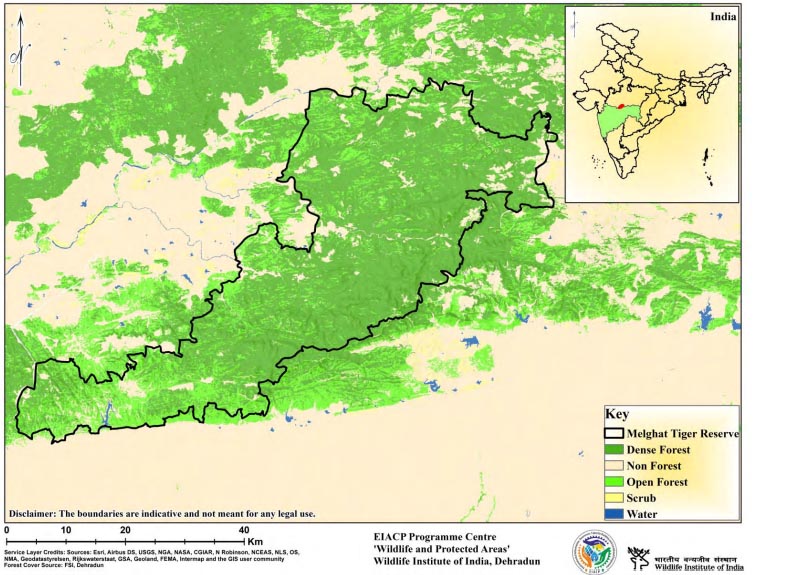
Melghat Tiger Reserve is located in Central India on a southern branch of the Satpura Hill Range, commonly known as the Gavilgarh Hills. The Reserve's southern boundary is formed by a steep ridge running east-west, with its highest point at Vairat (1178 m above mean sea level). It is a critical tiger habitat. The area is drained by five large rivers: Khandu, Khapra, Sipna, Gadga, and Dolar, which are all tributaries of the Tapti. The River Tapti forms the Reserve's northern and eastern boundaries. Melghat is Maharashtra's premier biodiversity reserve. The extensive plateaus amidst the rough topography include Makhala, Chikhaldara, Chiladari, Patulda, and Gugamal. The Critical Tiger Habitat has an area of 1500.49 square kilometres. It comprises of five protected areas: the Gugamal National Park, the Melghat Sanctuary, the Narnala, the Ambabarwa, and the Wan Sanctuaries. According to Champion and Seth (1968), the Reserve's forests are categorized as Southern Tropical Dry Deciduous Forests.
Description
State : Maharashtra
District : Amravati, Buldhana and Akola
Coordinates : 21.4060° N, 77.1485° E
Area : 2768.52 Sq.km
TR Notification year : 1973-1974
Tiger Population : 46 (All India Tiger Esitmation, 2018)